

While a "gravity hole" in Antarctica has been on scientists’ radar for some time, its history has never been fully understood. New research is beginning to change that, and in doing so, suggest surprising connections between gravity, geology, and the continent’s massive ice sheets.
The rest of this article is behind a paywall. Please sign in or subscribe to access the full content.Earth may look like a smooth “blue marble” from space, but it’s better to imagine it as a slightly gnarled orange, with an inside that’s firm in parts, but squishier in others. Since the planet isn’t a perfect sphere and its internal density varies across the globe, gravitational pull changes from place to place. Where there’s less mass in the underlying geology, gravity is weaker, and vice versa.
These dips in the gravitational field are formally known as gravity anomalies, but they're more commonly called “gravity holes". The largest is found in the middle of the Indian Ocean, spanning over 3 million square kilometers (roughly 1,100,000 square miles), while the strongest is found in Antarctica.
In a new study, two geophysicists have mapped the South Pole gravity hole with the hopes of revealing how it developed over millions of years.
To achieve this, the pair combined global earthquake recordings with physics-based modeling to create 3D maps of Earth’s mantle density. The results closely matched the “gold-standard” gravitational measurements collected by satellites, confirming the accuracy of the models.
“Imagine doing a CT scan of the whole Earth, but we don’t have X-rays like we do in a medical office. We have earthquakes. Earthquake waves provide the ‘light’ that illuminates the interior of the planet,” Alessandro Forte, a professor of geophysics at the University of Florida and co-author of the new study, said in a statement.
 and shows variations in Earth's gravity field.")
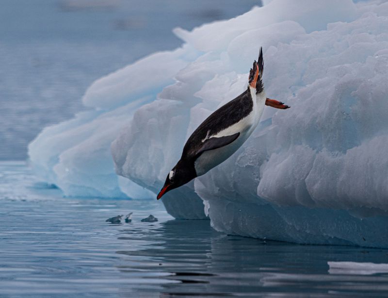
The maps showed that the Antarctic gravity hole has been there for at least 70 million years, back when dinosaurs ruled the Earth. However, it hasn’t remained constant. The gravity anomaly started to gain strength between 50 and 30 million years ago, a time that loosely lines up with the period when Antarctica became covered in glaciers and entered its deep freeze.
The permanent glaciation of Antarctica began around 34 million years ago. Amid declining carbon dioxide levels, the planet’s temperature dropped. Meanwhile, the shifting of tectonic plates created a large ocean current that flows clockwise from west to east around the continent, severing it from warm waters.
It appears that gravity, geology, and Antarctica’s glaciers are all deeply interconnected. The researchers speculate that changes in sea level, caused by slow movements deep inside the Earth beneath Antarctica, may have affected the conditions needed for ice sheets to start forming. These sea-level changes happen because of shifts in the Earth's gravity field and movements of the land surface, both driven by processes in the mantle.
“If we can better understand how Earth’s interior shapes gravity and sea levels, we gain insight into factors that may matter for the growth and stability of large ice sheets,” added Forte.
“How does our climate connect to what’s going on inside our planet?” he asked.
It’s important to note, however, that this is a very different issue from modern climate change driven by fossil fuels. These processes that shaped Antarctica unfolded over millions of years, far slower than the rapid warming caused by greenhouse gas emissions today. Still, understanding all of this could help scientists piece together the long-term history of Earth’s climate and provide glimpses into its future.
The study is published in the journal Scientific Reports.